Agricultural Imaging
Your land, from a higher perspective.
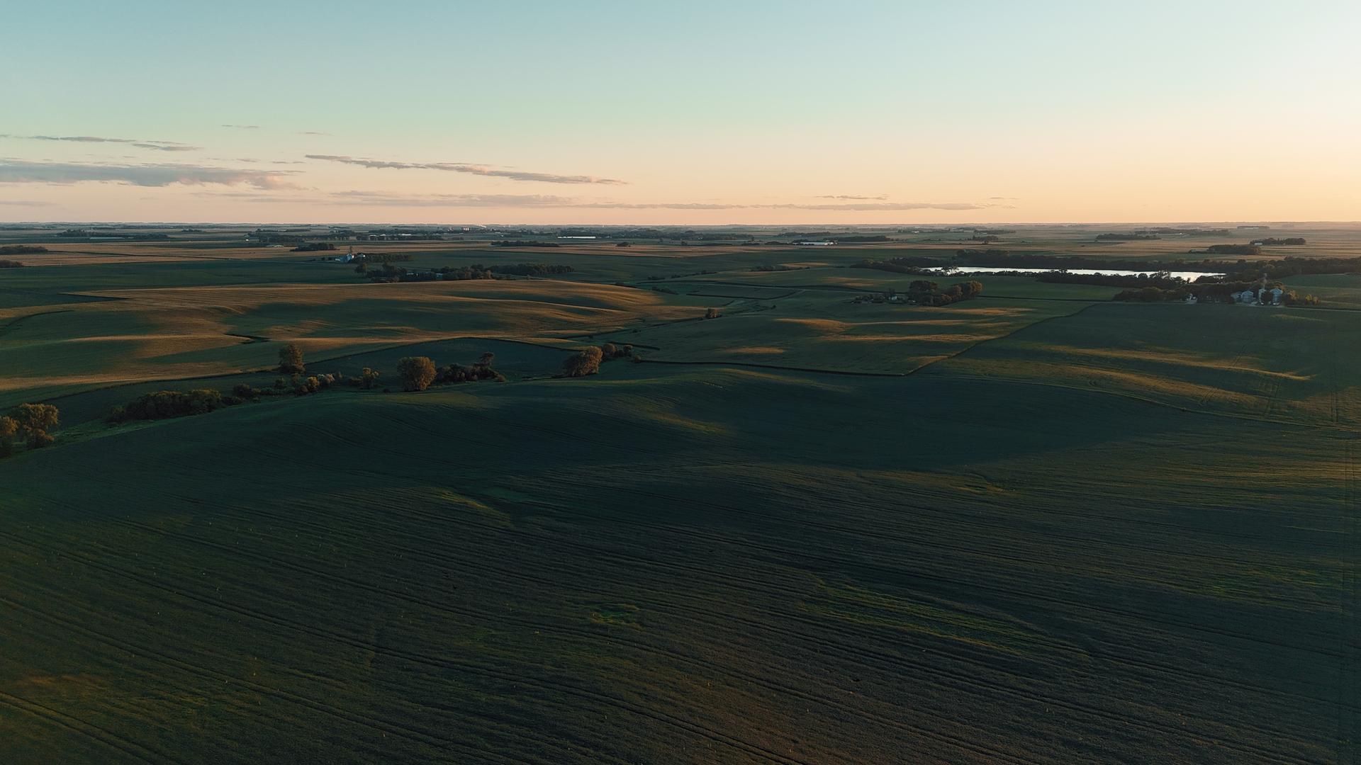
Our agricultural aerial services deliver the insights you need to manage, market, and maximize your farm or acreage. Using high‑resolution drone imaging, we help you see patterns, spot opportunities, and track seasonal changes with clarity.
What’s included:
Wide‑area mapping and field overviews
Seasonal progress documentation
Crop health monitoring through visual analysis
Cinematic aerial footage for marketing, ag‑tours, and investor presentations
Why it matters:
Drone imaging reduces guesswork, improves efficiency, and strengthens marketing materials. Whether you’re managing production or selling land, we give you a vantage point that helps every decision.